
Glassboro Address Records Timeline
One Glassboro address can pass through different kinds of records as the years go back. Start with a parcel or legal description, then choose the source that fits the period. Recorded deeds are useful for transfer parties and descriptions. Directories, newspapers, and census schedules can add a dated household lead. Maps establish street or structure context. Each source answers a narrower question than “who lived here before,” so pair sources rather than treating one result as a final answer.
| Source | Years it covers | Where held | What it can show |
|---|---|---|---|
| County deed books and historic series | GCHS lists deed books 1784-1878; current portal cutoff not located | County Clerk, GCHS, State Archives microfilm, FamilySearch | Parties, legal descriptions, liens, and instrument references. |
| Mortgage books | GCHS inventory: A-Z, 1755-1855; State Archives microfilm through 1850 | GCHS and State Archives | Mortgage parties and property references, not occupancy. |
| Printed and criss-cross directories | Exact Glassboro publisher and year runs not located | GCHS collection, exact item to confirm | A dated name-and-address lead if a local run exists. |
| Federal census | Released through 1950 | NARA and digitized repositories | A household and place snapshot at the census date. |
| Sanborn fire-insurance map | August 1905, six sheets | Library of Congress | Street, structure, footprint, and land-use context, not residents. |
| Newspapers and GCHS files | Exact title coverage to confirm | GCHS and library databases | Dated notices, obituaries, legal ads, and address clues. |
For a recent transfer, the online land index and county property search are the practical first stops. For earlier material, use the County Clerk index as a starting point, then move to GCHS, State Archives microfilm, FamilySearch images, and in-person or request channels. A failure in one system should be recorded as “not located in the source reviewed,” not as proof that no earlier resident or record exists.
Glassboro Previous Residents Start With a Parcel
Begin with the address exactly as it appears on the source, including direction, suffix, municipality, and any older spelling. In the county-linked property search, Glassboro research can use district, house number, street, owner last and first name, block, lot, and qualifier. The assessment workflow also exposes location, owner name, block, lot, qualifier, database, county, district, search format, output format, and items per page. Record the result date because the official research does not state a complete historical coverage range.
Block, lot, and qualifier are the bridge when an address changes or a street number is uncertain. The New Jersey Geographic Information Network parcel layer supplies standardized fields such as municipality, block, lot, qualifier, location, street address, and parcel identifiers. It is not survey data, and hosted public owner fields may be redacted under Daniel’s Law. Keep a mailing address separate from the property address. A tax display or a land-party name is not a full household roster.
The practical chain is address → block, lot, qualifier → legal description → deed parties → dated household source. Preserve the raw string alongside a normalized version, because “S. Poplar” and “South Poplar” may need to remain distinguishable in a historical citation.
Glassboro Deed Chain for Past Residents
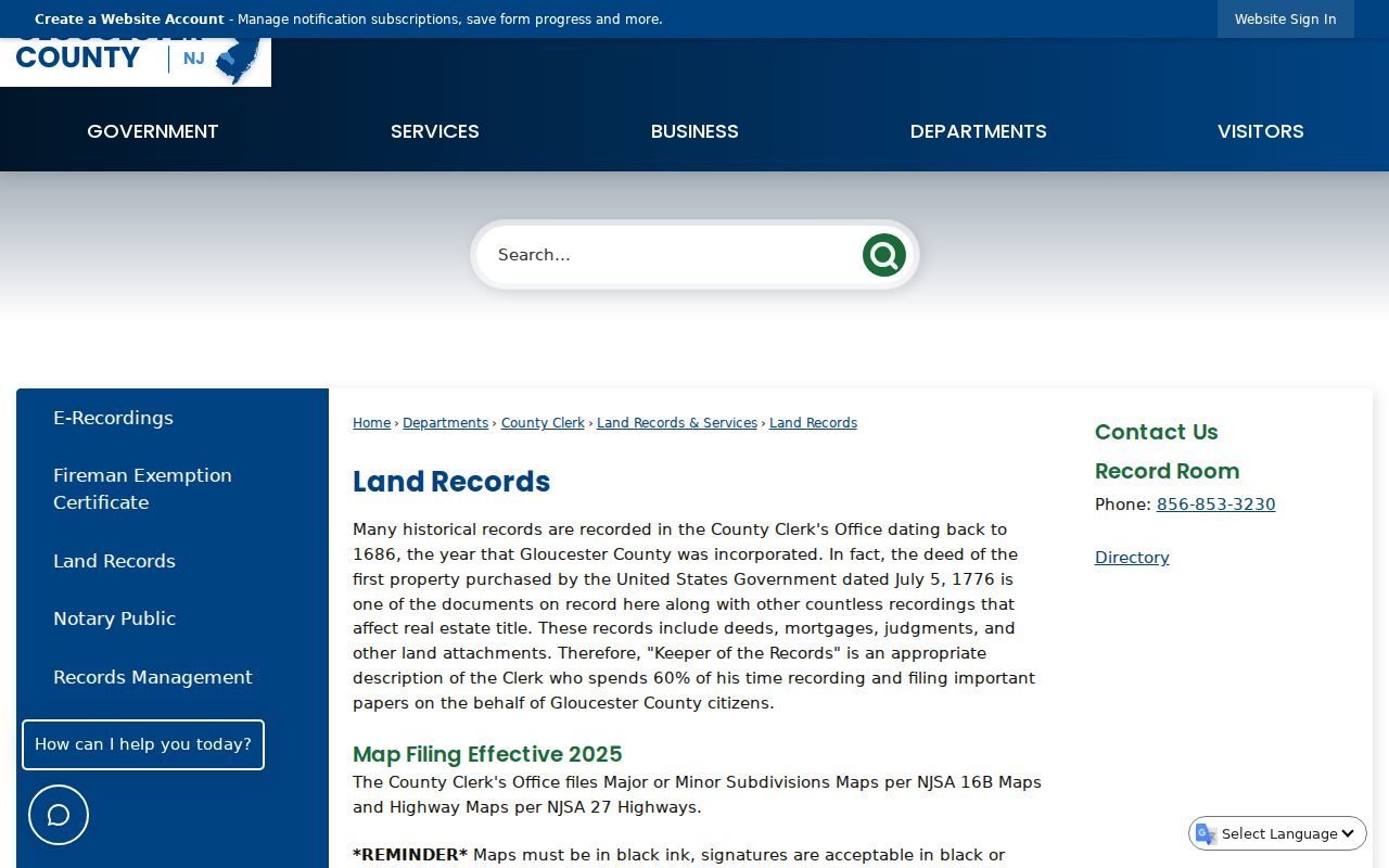
The Gloucester County land-records page points to the current Recorded Land portal. Its visible tabs include Name Search, Recorder Date Search, Document Search, and Volume Search, plus separate trade-name, UCC, and map searches. The visible form uses an office selector, search type, business or last name, first name, party type, document type, recorded-date range, and a search action. Exact dropdown values and the portal’s historical online cutoff were not exposed in the official research, so neither should be guessed.
- Search the present address in the county property tool and copy the block, lot, qualifier, owner label, and legal description as displayed.
- Search the current recorded owner in the land portal, testing spelling variants and municipality details.
- Open the relevant purchase instrument and record parties, document type, recording date, book and page or instrument identifier, and legal description.
- Search the seller as a prior grantee to locate that person’s earlier purchase, then compare the description and parcel identifiers.
- Repeat only while the descriptions support the same parcel. For older gaps, ask GCHS, the State Archives, or the Record Room about the historic series.
- Grantor
- The party transferring an interest in a recorded instrument.
- Grantee
- The party receiving that interest. A former seller may appear as a grantee on an earlier purchase.
- Chain of title
- The sequence of recorded transfers connected by the parcel’s legal description, not merely by a familiar street number.
- Legal description
- The parcel wording in a deed, map, or related record that helps connect old and current address labels.
The County Clerk says online searching and viewing, printing, or downloading are free. The Record Room can answer index and copy questions at 856-853-3230; the county lists office copies at $0.05 per page and certification as an additional $2, subject to a current fee check. Images or physical books can be restricted for Daniel’s Law-covered records even if an index lead remains visible. Do not try to work around a redaction.
The county land-records source describes the portal, Record Room, and access cautions used for a lawful Glassboro deed trail.
The recorded-land result should be cited as an index lead or an image, with the search date and record identifier. It does not by itself establish who occupied the property.
Glassboro 1905 Structures Before Residents
The six-sheet Library of Congress Sanborn map for Glassboro was created in August 1905. It can establish that a structure, named use, street label, or nearby industrial and rail context existed at that date. It does not name residents. Use the sheet, block, structure, and adjacent streets as a bridge to a deed, newspaper, released census, directory, or GCHS survey rather than inferring an occupant from a footprint.
This is especially important near the historic glassmaking and railroad geography. Glassboro’s official history identifies local glass works, while the zoning map shows the former PRSL or Conrail corridor and redevelopment labels. Those names can help match a place reference in a paper record. They remain context, not proof that a named person occupied a particular structure.
| Map clue | Record the sheet, street label, structure or land-use note, adjacent streets, and map date. |
|---|---|
| Parcel bridge | Compare the map context to block, lot, qualifier, deed description, zoning map, and GCHS survey information. |
| Person source | Add a dated directory, newspaper, census, family file, or institutional record before making a household connection. |
Glassboro Previous Residents Need an Address Bridge
There is no official Glassboro street-renumbering or annexation chronology in the research reviewed. An old street label should not be assumed to match a current parcel because the street name looks familiar. Buildings can be replaced, parcels can be split or combined, and a legal description can persist while a number changes. The safer approach is to compare the oldest and newest legal descriptions with the Sanborn, zoning, and GIS layers, then note any remaining uncertainty.
For an older alignment, GCHS historical holdings include road petitions, surveys, reports, maps, and property-search books. The Borough Clerk or Planning and Zoning office can be asked whether a specific street or parcel has a documented renumbering history. The official research found no municipal house-history guide or paid research service. GCHS maps, surveys, Place Index, directories, newspapers, deeds, and family files are the practical route, with the exact item and any fee confirmed directly.
Glassboro Previous Residents in Census and Directories
Ownership is only one layer of an address history. A directory, newspaper, or released census may add a household lead, but each has a different date and scope. Federal census records are released under the 72-year rule, and 1950 is the most recent public individual schedule. Directories and criss-cross volumes can be useful address tools if GCHS confirms a Glassboro item, but the exact local year runs remain unverified. The Glassboro city directory collections page focuses on confirming and citing those holdings.
- Place the deed or parcel event on a dated timeline without calling the party an occupant.
- Ask GCHS whether a directory, telephone book, newspaper, or family-file item covers Glassboro and the needed year.
- Copy the volume or publication title, date, page, raw address, index type, and any cross-reference.
- Compare it with the released census for the relevant census date, keeping the census date separate from publication date.
- Use an obituary, probate file, cemetery record, or later newspaper only as a dated follow-up, with its own citation.
A household may be missed for many reasons: the source could be incomplete, the person could be listed under a variant name, the address may be a mailing address, or the record may fall between publications. Treat a dated directory or census hit as a historical lead until it is supported by another independent record.
Note: A census household, printed address, and land transfer should be reported with their separate dates, because they do not describe the same moment.
Glassboro Previous Residents at GCHS
GCHS is the main local research hub when an online parcel or index reaches its historical limit. Its collection description includes directories, telephone books, newspapers, church and cemetery records, probate and funeral-home material, family files, maps, surveys, photographs, military records, and Every-Name and Place indexes. Surveys can identify adjacent properties, waterways, schools, churches, landmarks, and building footprints. A Place Index can move from a street or institution to a person clue, which can then be tested against a family file or newspaper.
Search newspapers with surname variants, initials, married names, street names, organizations, and nearby communities. Record the title, issue date, page, column, item type, and image or clipping identifier. For old deed and probate work, the New Jersey State Archives genealogy resources describe county deeds on microfilm through 1900, mortgages through 1850, original wills and inventories from 1670-1900, and related historical series. FamilySearch has digitized county deeds, but an index match and an image view should never be treated as the same thing.
Glassboro Previous Residents Confidence Limits
Label every result by what it actually supports. A high address association needs a dated official or archival record plus an independent dated source matching the full name, address, and parcel or organization context. A moderate association has a consistent second source but an unresolved parcel, image, or same-name issue. A historical lead can be a directory, newspaper, yearbook, family file, or map clue that still needs repository confirmation. A business address, mailing address, organization listing, or ownership record without occupancy evidence is not residence proof.
| High address association | Two dated, independent sources match the person, address, and supporting context. |
|---|---|
| Moderate association | Sources align, but a parcel, image, or same-name issue remains unresolved. |
| Historical lead | A useful source clue that still needs a second record or repository confirmation. |
| Not a residence proof | A mailing address, business or organization listing, court appearance, or ownership record without occupancy evidence. |
New Jersey access rules can limit what a public source shows. OPRA permits redactions of protected fields. Daniel’s Law can restrict images or addresses for covered people, and the Address Confidentiality Program can supply a lawful substitute address. Recent vital records, sealed or expunged court materials, juvenile material, and protected addresses require the custodian’s rules to be respected.