
Finding a Glassboro Street by Address
Begin with the county-linked property search, where a Glassboro query can use district, house number, street name, owner last and first name, or block, lot, and qualifier. The address search is a practical starting point because it ties a place to the county tax vocabulary. Save the exact address as entered and the date of the result. A later deed, map, or archival source may use a different spelling, direction, or a legal description instead of the modern street form.
Move from the parcel lead to the recorded-land index, then test the historic context separately. The county portal can connect parties, document type, recorded date, volume, and legal description. The zoning map and county GIS add location context. Historical directories and newspapers can add a dated address clue, but their exact Glassboro runs must be confirmed with the repository. That sequence keeps ownership, association, and occupancy as separate claims.
- Search the Gloucester County property search with the address, then record the district and any block, lot, and qualifier displayed.
- Check the same location in the New Jersey Geographic Information Network parcel layer and retain the parcel identifiers separately from the street string.
- Use the Gloucester County land portal to test names, dates, document types, and legal descriptions associated with that parcel.
- Compare the address with the borough zoning map or county GIS so the street, block, route, and redevelopment context are dated correctly.
- For an older address, ask GCHS for the relevant directory, newspaper, map, or survey item, then pair that item with a deed, census release, or another independent dated record.
Note: A street result is strongest when the address, date, parcel identifiers, and an independent source agree.
Glassboro Street Directory Record Chain
The useful Glassboro street-directory chain is address to parcel identifiers, then map and zoning context, then the deed trail, then a dated historical source. Each link answers a narrower question. A parcel search can establish the county’s address vocabulary. A recorded instrument can identify parties to a transaction. A Sanborn sheet can show a structure at a date. None of those records alone supplies a complete list of people at an address.
Gloucester County and municipal sources also use different access paths. The county property and land portals are online. County GIS controls are JavaScript-dependent, so record the visible layers and capture date. Construction tracking may require an account. GCHS holdings require a direct request for the exact item. The differences matter when one source returns no result.
| Address-keyed source | Custodian | What it can establish | Access path |
|---|---|---|---|
| Property or assessment search | Gloucester County | District, address query, owner query, block, lot, qualifier | County-linked online search; coverage date not stated. |
| NJ GIN parcel layer | New Jersey GIS | PIN, municipality, block, lot, qualifier, location, update field | Online layer; parcel geometry is not a survey. |
| Recorded-land index | Gloucester County Clerk | Parties, instrument, date, identifier, legal description | Free online search; Record Room handles copy questions. |
| Zoning and GIS maps | Glassboro and Gloucester County | Street grid, blocks, routes, rail corridor, planning context | Online map resources; not ownership evidence. |
| Directories and newspapers | Gloucester County Historical Society | Dated address or historical context | Request the precise run, issue, page, or survey item. |
| Permits and certificates | Glassboro Construction | Building and certificate-form categories | Forms are public; SDL tracking may require an account. |
Search Glassboro Parcels by Street
The property search and assessment workflow use parcel-style fields rather than a broad street roster. The first tool documents district, house number, street, owner last and first name, block, lot, and qualifier. The assessment workflow documents database, county, district, search and output format, items per page, location, owner name, block, lot, and qualifier. Exact historical coverage and the complete public result layout were not located, so a result should be described only by its displayed labels.
Block, lot, and qualifier can survive when an address label changes, although even a parcel can be subdivided or consolidated. Keep a mailing address distinct from a situs address. The research did not establish the full set of public parcel-card fields, and an assessment is not proof of value or of who is physically present. The county assessor handles assessment records, tax maps, and ownership or address-correction routes.
| Tool | Documented search fields | Use with care |
|---|---|---|
| County property search | District, house number, street, owner, block, lot, qualifier | Capture the result date; coverage is not stated. |
| County assessment search | Database, county, district, format, items per page, location, owner, block, lot, qualifier | Assessment output is not a complete address history. |
| NJ GIN cadastral layer | PAMS PIN, municipality, block, lot, qualifier, county, class, location, street address, update | Hosted owner names may be redacted under Daniel's Law. |
- Parcel
- A defined tax or land unit that can be tracked by identifiers even when address text changes.
- Situs address
- The physical location associated with property records, which can differ from a mailing address.
- Legal description
- The deed language identifying land by a recorded description rather than only a street address.
- Criss-cross directory
- A directory arranged by address that can offer a dated lead when a confirmed Glassboro run is available.
Glassboro Streets on Planning Maps
The official zoning map provides a local orientation layer for a Glassboro street directory. It shows the street grid, block references, county and state routes, the Conrail or former PRSL corridor, and areas labeled Downtown, East High, West High, Rowan Boulevard, and Glassboro Business Park. Those labels explain planning or map context. They do not establish title, a legal boundary, or a person’s presence at an address.
The Glassboro Planning and Zoning page supplies the office route, forms, and linked map material. When a historic street label needs reconciliation, compare the zoning map with the deed legal description, county parcel identifiers, Sanborn sheet, and a dated newspaper or directory item. No official Glassboro street-renumbering or annexation chronology was located in the research, so that gap should remain visible rather than filled by an assumption.
The Planning and Zoning office is the source shown below. Its materials help place a street within a planning area before a researcher treats any address string as continuous across time.
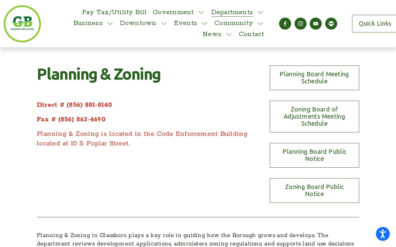
The source page supports a planning and zoning route, not an address-by-address ownership or occupant list.
Glassboro Street Deeds and Legal Descriptions
The County Clerk is the main current recorded-land source for a Glassboro address. Its portal has Recorded Land tabs for Name Search, Recorder Date Search, Document Search, and Volume Search. Trade Names, UCC, and Maps have their own name or document routes. The visible search design includes office selector, search type, business or last name, first name, party type, document type, and a recorded-date range. Dropdown values and the portal's historical cutoff were not exposed in the official research.
Record a party name, document type, recording date, book and page or instrument identifier, legal description, municipality, and block or lot whenever those labels appear. Search spelling variants. Since October 1, 2016, recorded instruments are not cross-indexed by party type, so a party-type filter may not return every relevant item. Online search, viewing, printing, and downloading are described as free. The County Record Room can answer index or copy questions at 856-853-3230; the county lists office copies at $0.05 per page and certification at $2, subject to a current check.
Glassboro Street Permit Trails
Glassboro Construction at 10 South Poplar Street is a relevant address route for building, electrical, fire, mechanical, plumbing, resale, deck, pool, certificate, and related form categories. The department shares the municipal telephone number, 856-881-8140. Forms and a Spatial Data Logic tracking link are available through the municipal source. The research found that 24-hour permit tracking requires account access and did not expose an anonymous public field inventory.
A permit or certificate trail can help date construction activity or identify which municipal process to ask about. It should not be presented as a public occupancy list. If an online search does not expose the needed record, identify the address, category, and approximate date in a request to the correct municipal office. The Borough Clerk can help route a records request under the New Jersey Open Public Records Act when the record category is clear.
The Glassboro Construction Department shows the form and tracking route used for this address-record layer.
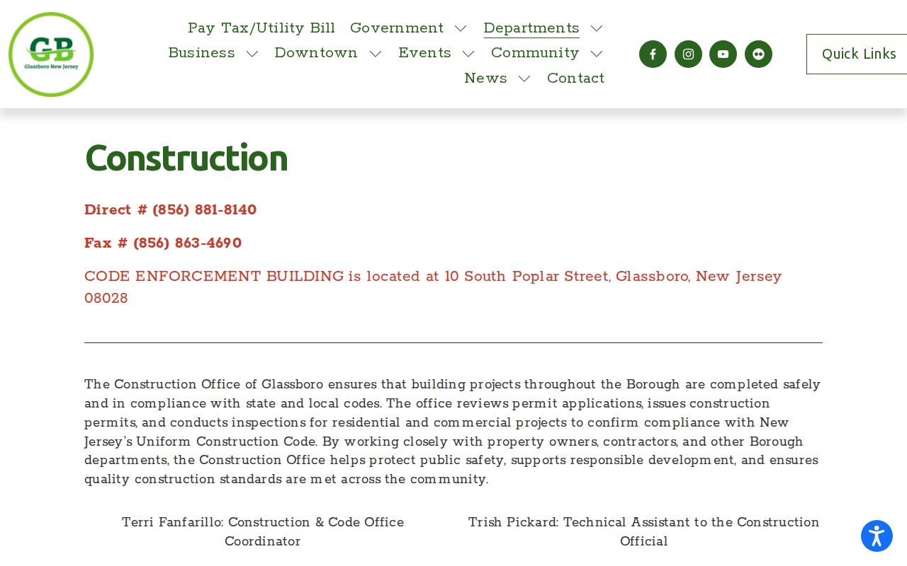
The department source confirms the available construction and certificate routes while preserving the research gap on unauthenticated permit-search fields.
Glassboro Street History Before Modern Addresses
For older Glassboro streets, preserve the original address wording and pair it with the legal description, block and lot, landmarks, and date. The Library of Congress holds a public-domain, six-sheet Glassboro Sanborn Fire Insurance Map published in August 1905. It can show street labels, structures, building footprints, industrial or institutional use, and nearby streets. It does not name residents, so it is a bridge between a place and a separate dated record, not a resident list.
County record history adds other routes. GCHS holds handwritten deed books for 1784 through 1878, mortgage books A through Z for 1755 through 1855, and historical roads, tax, railroad, court, and property series. The New Jersey State Archives describes county deed microfilm through 1900 and other historical material. Exact Glassboro criss-cross directory years and printed city-directory runs were not located, which means a repository request must ask for a specific year or reel rather than assume that one exists.
Once a ZIP narrows an inquiry to a postal area, the Glassboro ZIP Directory explains why the postal code still needs an address and parcel check before street-level research begins.
Note: Historic maps establish structure and street context only when matched to a dated record that identifies a person or party.
Glassboro Street Voter-Record Limits
New Jersey provides a personal Voter Registration Status Check, but the live field labels and result behavior were restricted during the research. A complete public block-wide or street-wide lookup method was not located. The correct local route for lawful voter-list access is the Gloucester County Election Division or Commissioner of Registration, with the requested format, fee, field redactions, and use restrictions confirmed at the time of request.
N.J.S.A. 19:31-39 allows specified voter-list production while excluding signatures and protected home addresses. The statute describes an electronic registered-voter list route through the commissioner, but the research did not establish the current file layout. A registration status or list entry is not proof of physical presence on every date. Mailing address and residence address can differ, and protected-address programs can limit what appears.
Glassboro Street Change at Academy Row
A dated planning notice can explain why a Glassboro street record looks different across years. The Borough reported a March 25, 2025 groundbreaking for 92 units at East High Street and South Academy Street in the Downtown redevelopment zone. The notice marks a parcel and neighborhood change, not a list of people connected to the location. Pair it with the zoning map, parcel identifiers, deed trail, and older map material when documenting the transition.
Downtown notices also place the 2024 library transition in the Rowan Boulevard period. These dates are useful anchors when searching a planning packet, newspaper item, or archival description. They do not replace a recorded deed, a survey, or a dated directory entry. The distinction keeps a street-directory result grounded in the actual record type.
Privacy Limits for Glassboro Streets
Address research has firm limits. Daniel's Law can leave a county index entry visible while restricting images or physical books for covered people. The New Jersey Address Confidentiality Program permits a substitute address for eligible participants, and protected fields can be redacted under OPRA. A missing image or address is not evidence that a record never existed. Do not try to bypass a redaction or combine fragments into a sensitive profile.
Use address sources for family-history, estate, property, civic, and safety questions with a clear purpose. New Jersey law identifies stalking at N.J.S.A. 2C:12-10 and harassment at N.J.S.A. 2C:33-4. The Driver's Privacy Protection Act restricts personal information from motor-vehicle records. For a protected-address concern, contact the record custodian or the appropriate state protection program instead of repeating the address.
Lawful use. Glassboro street records support personal, lawful research. Never use an address lead to stalk, harass, threaten, or harm another person.